North
Northcott Mouth
↔ 2.1 miles (3.4 km) one way◷ Around 45 minutes one way◒ Moderate
Head through Crooklets and follow the coast path north over Maer Down to Northcott Mouth.
Open destination in Google Maps →Download verified coast-path GPX →Explore From Your Door
Everything shown on this page can be reached on foot from Bude Surf Shack, making it easy to leave the car behind and enjoy the coast at your own pace.
Walk from the front door
The red dotted lines show the suggested direction from Bude Surf Shack to the coast path. Open the live directions before setting out for the latest route detail.
Head through Crooklets and follow the coast path north over Maer Down to Northcott Mouth.
Open destination in Google Maps →Download verified coast-path GPX →Follow the signed South West Coast Path north through Crooklets and Northcott Mouth, continuing above the cliffs to the actual beach entrance at Sandymouth.
Open destination in Google Maps →Download verified coast-path GPX →Walk to Crooklets, then head south along the surfaced clifftop path towards Bude Sea Pool and Summerleaze Beach.
Open southbound route in Google Maps →Walk to Crooklets, follow the signed South West Coast Path past Middle Beach and Bude Sea Pool, then continue over Compass Point and the grassy clifftops to Widemouth Bay.
Open waymarked route in Google Maps →Download verified coast-path GPX →Routes are illustrative. Follow current signs and use the live directions to confirm the exact path, closures and conditions.
The local shortcut
Leave through the rear of Bude Surf Shack and follow the back alley between Victoria Road and the rear of Ocean View Road. It is the quickest walking route to Crooklets Beach.
More places
 Read the Hawker’s Hut story →
Built in the 1840s by the Reverend Robert Stephen Hawker from driftwood and timber washed ashore, Hawker’s Hut is thought to be the smallest property owned by the National Trust. It sits dramatically on the cliffs overlooking the Atlantic.
Open Hawker’s Hut in Google Maps →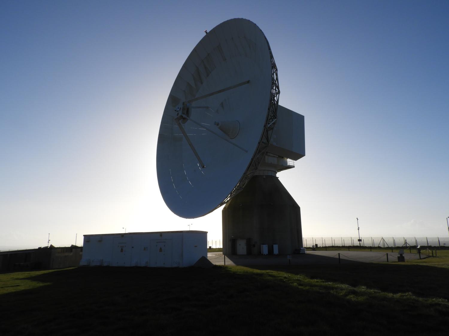 Open the walking route from BSS in Google Maps →
Follow live walking directions from Bude Surf Shack towards the landmark satellite station near Morwenstow. This is a substantial outing rather than a casual doorstep stroll, so check daylight, weather, coast-path conditions and the return journey before setting off.
GCHQ Bude is an operational site, not ordinarily a visitor attraction. Only attend a public or STEM open day when officially announced.
Walk from Bude Surf Shack in Google Maps →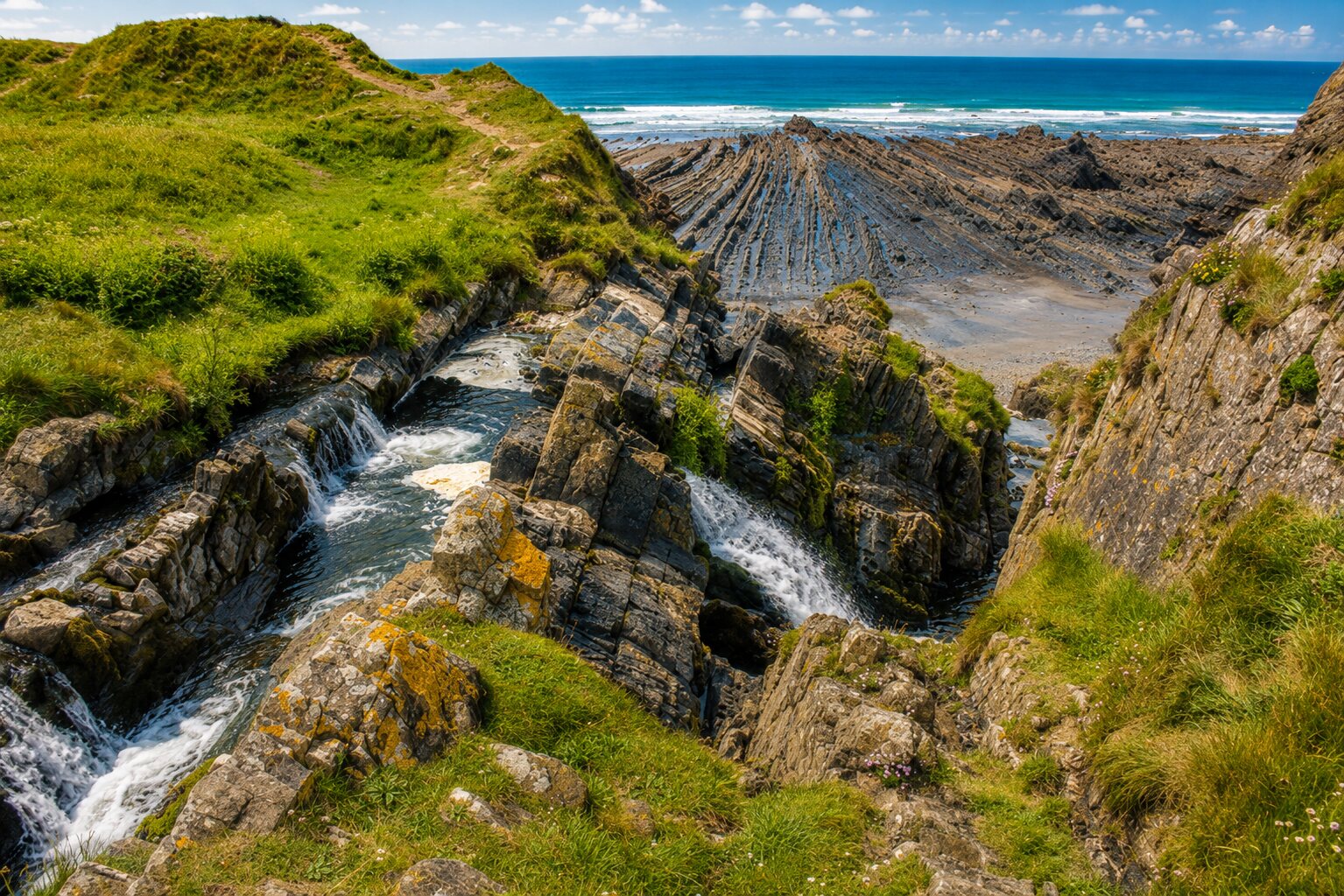 Find the waterfall in Google Maps →
A seasonal waterfall drops onto this dramatic, remote beach north of Hartland. Access is steep and uneven, there is no lifeguard, and tides move quickly—check conditions and use the National Trust route rather than an improvised cliff path.
Open the official National Trust walk →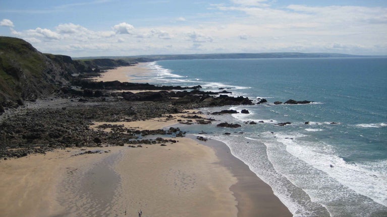 Open the route from BSS in Google Maps →
A wild National Trust beach with rock pools, a stream and steep coastal scenery. Pair the beach with the signed Duckpool and Steeples walk, and check tide and path conditions before leaving.
Plan a visit to Duckpool →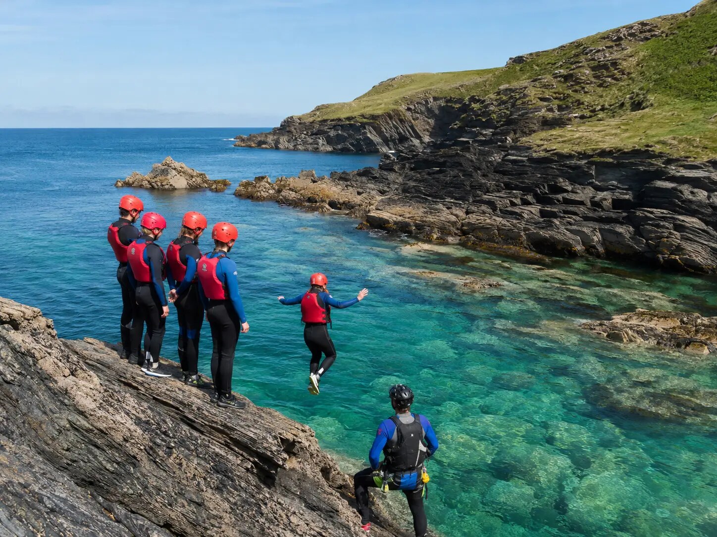 Open Visit Bude’s verified activity →
For a thrilling sea entry without guessing about depth, swell or submerged rocks, book guided coasteering. A qualified local guide selects the venue and any optional jumps after assessing conditions on the day; no unsupervised jump point is promoted as safe.
Explore another guided local option →The closest everyday essentials and neighbourhood stops will be added here.
Nearby beaches, cafés and easy places to explore will be added here.
More of Bude’s coast, town and family favourites will be added here.
Longer walks and rewarding local destinations will be added here.
Walking distance
The coloured rings match the time guide. They show approximate walking distance from Bude Surf Shack; the exact time will depend on your route and pace.
Local secrets
Small discoveries around Bude, with sensible guidance for tides, rocks and exposed water.
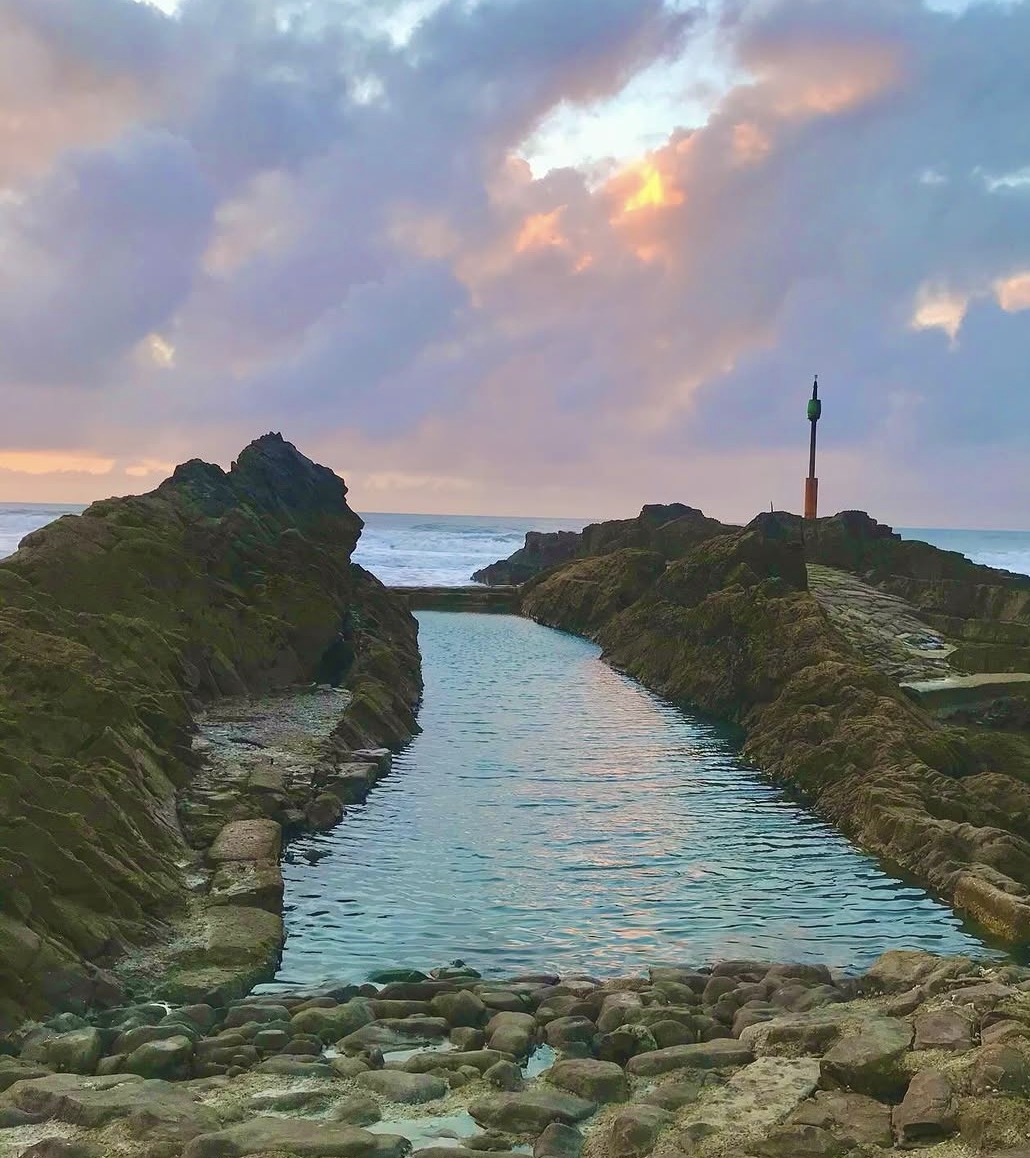
Bude’s smaller historic tidal pool, tucked among the rocks beyond Summerleaze. Visit only around low tide, in calm conditions, and expect uneven rocks.
Find Tommy’s Pit →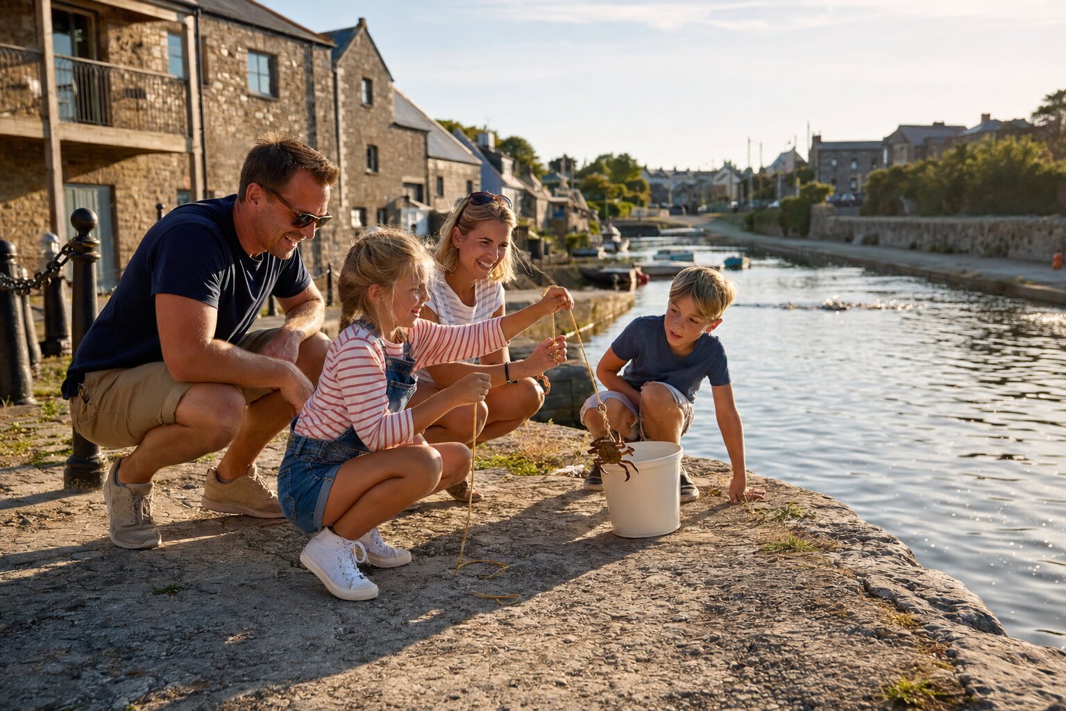
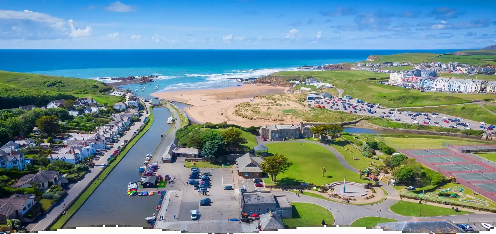
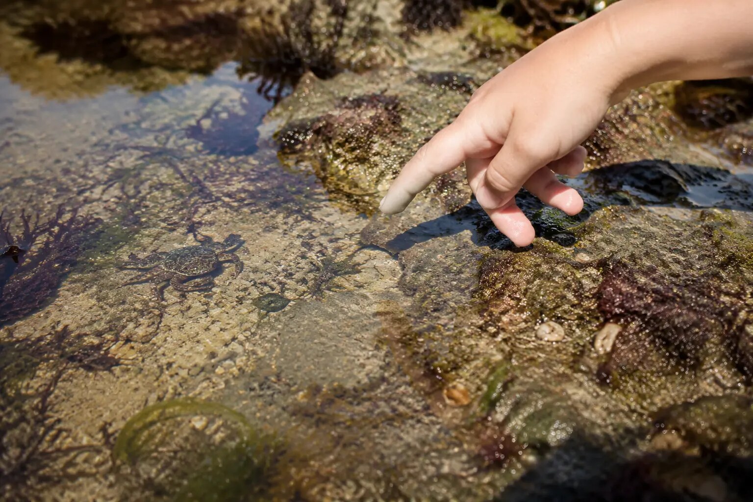
Try the sheltered canal and wharf area with a bucket, line and bait. Keep children beside you, return every crab gently and take all line home.
Open the canal wharf →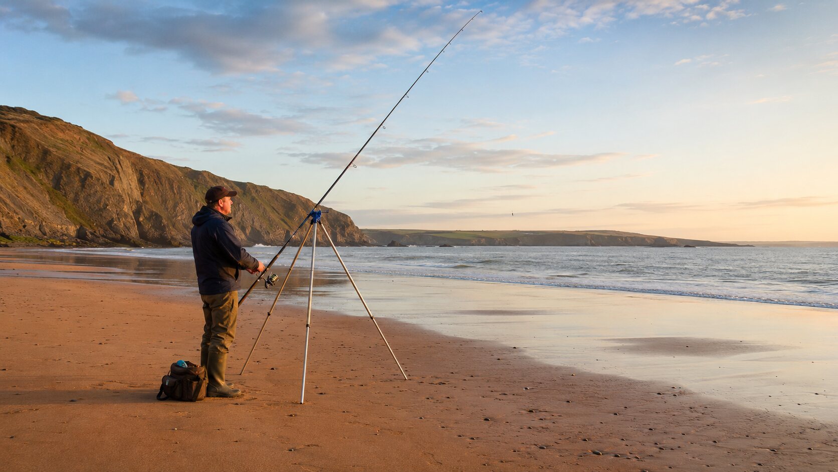
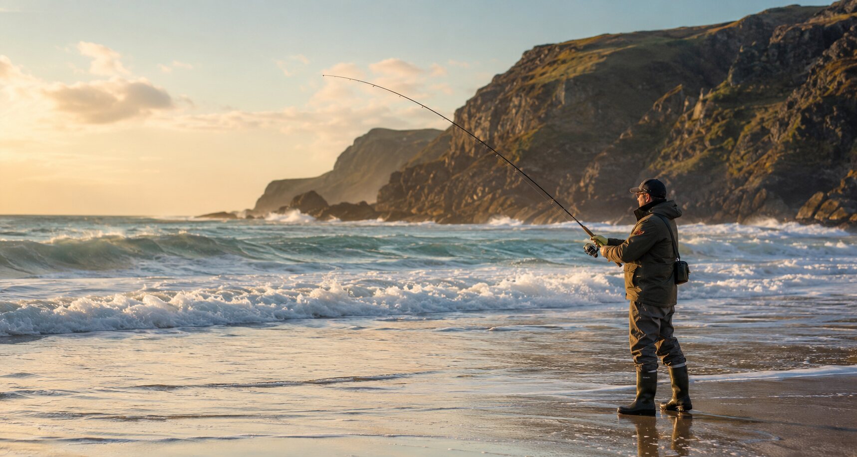
A popular local sea-fishing spot when conditions are settled. Check tides and swell first, stay well back from exposed edges and follow local notices.
Open Bude Breakwater →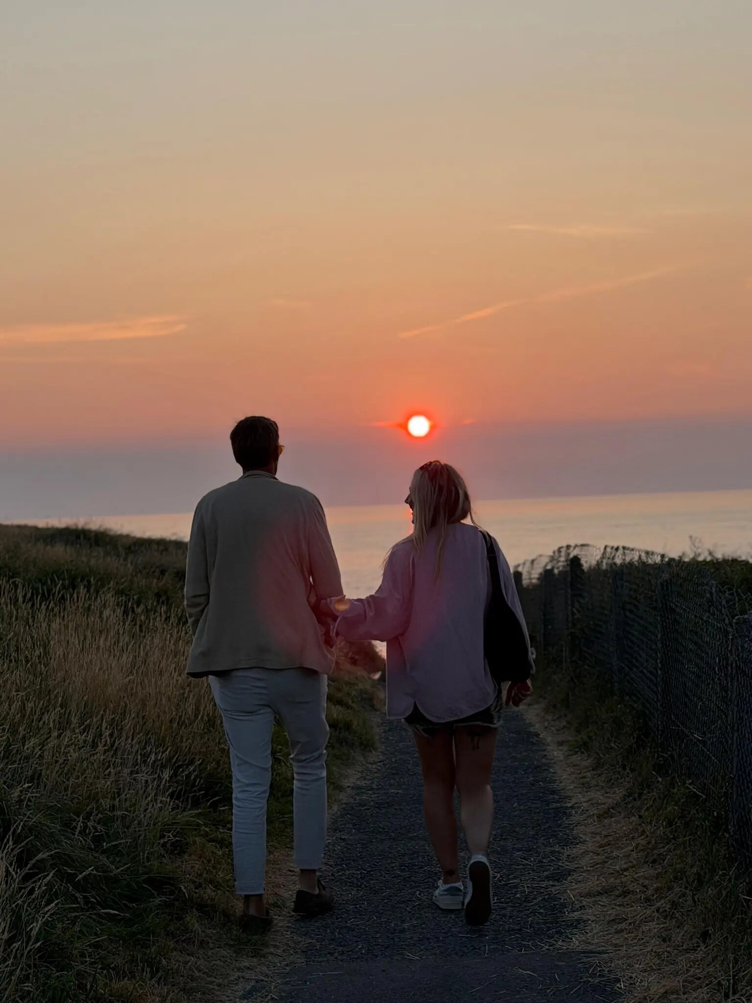
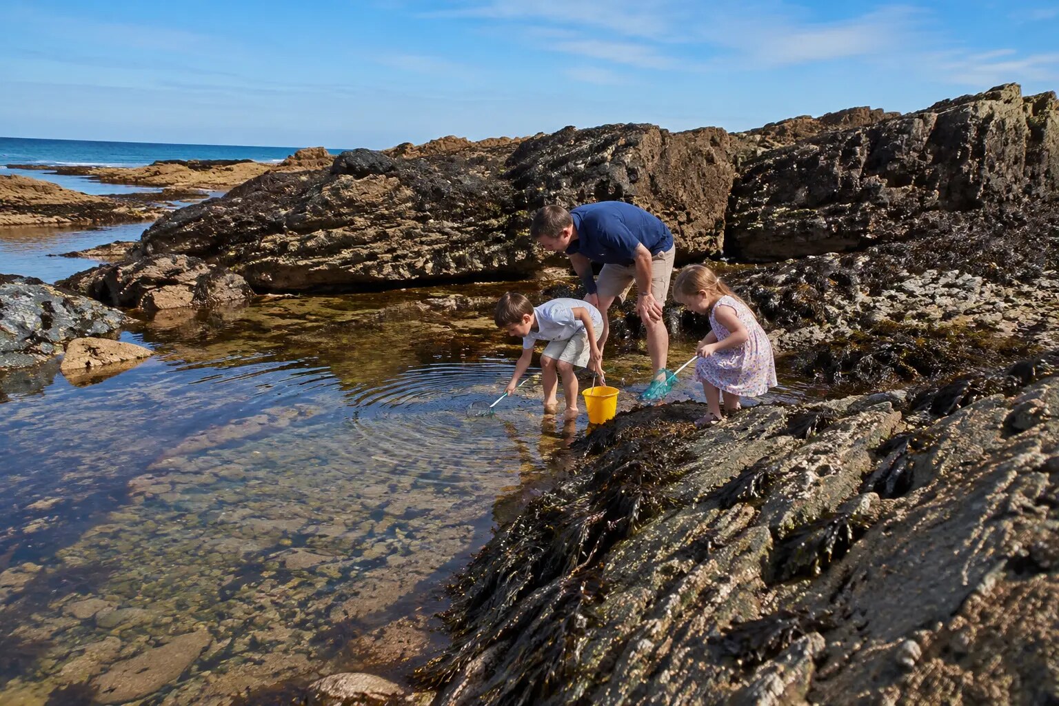
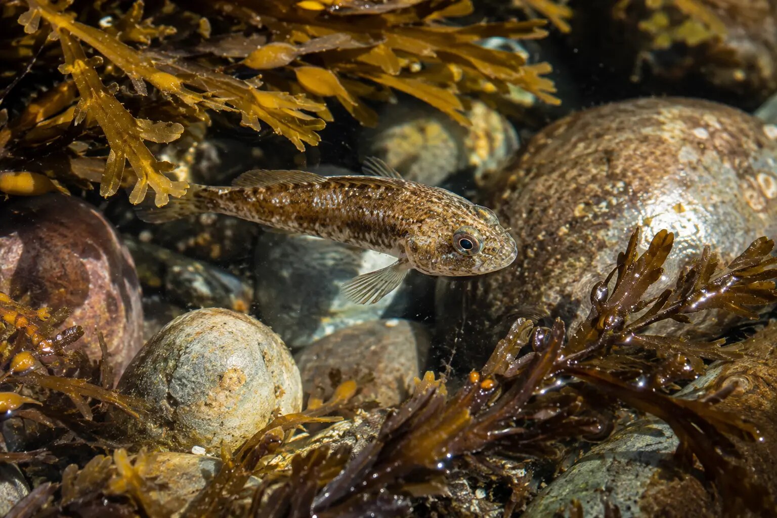
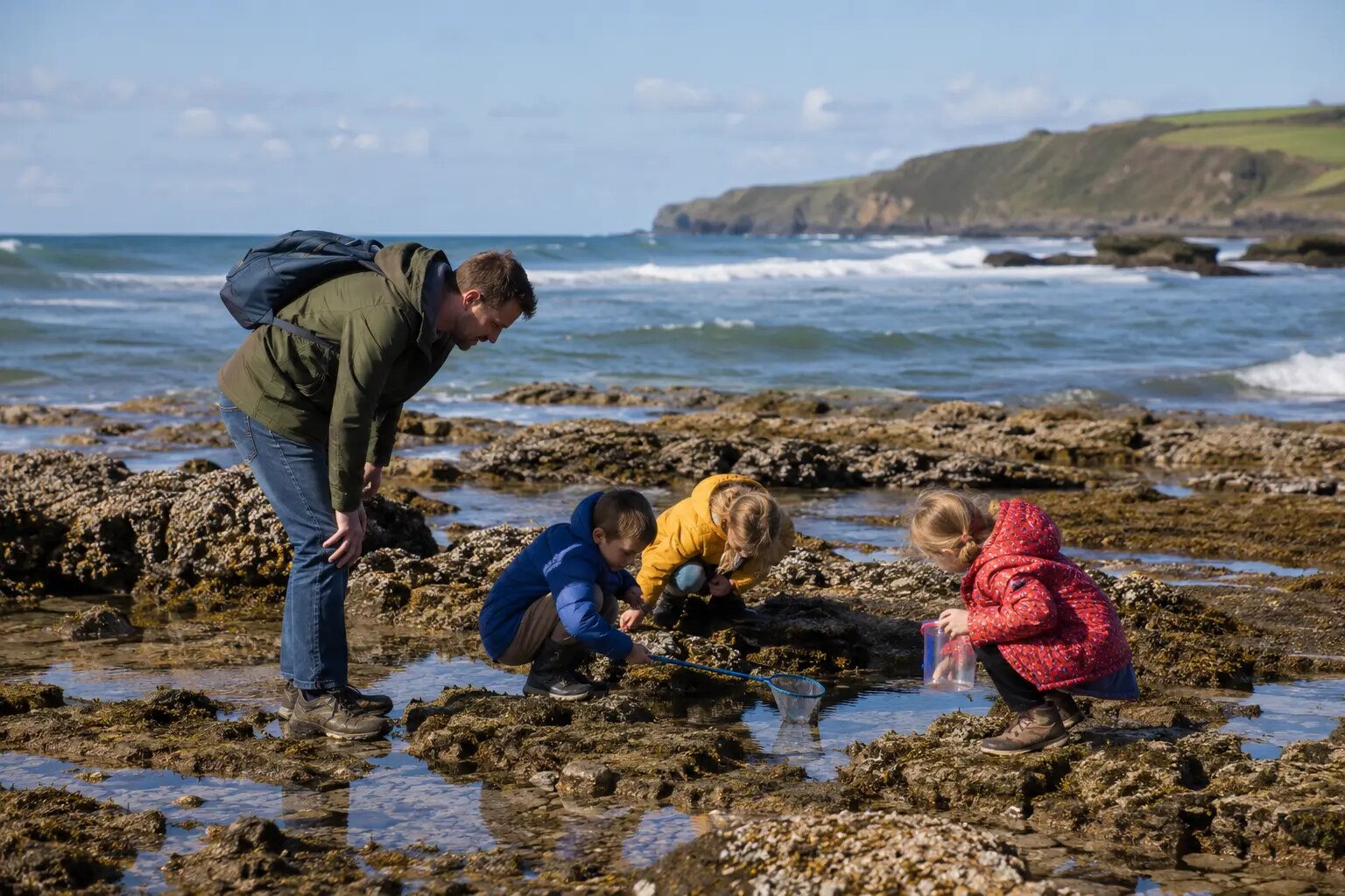
Explore the smaller rocky inlets between the main beaches from the signed coast path. Access changes with tide and swell, so never descend an unsigned cliff route.
See the Crooklets coast-path map →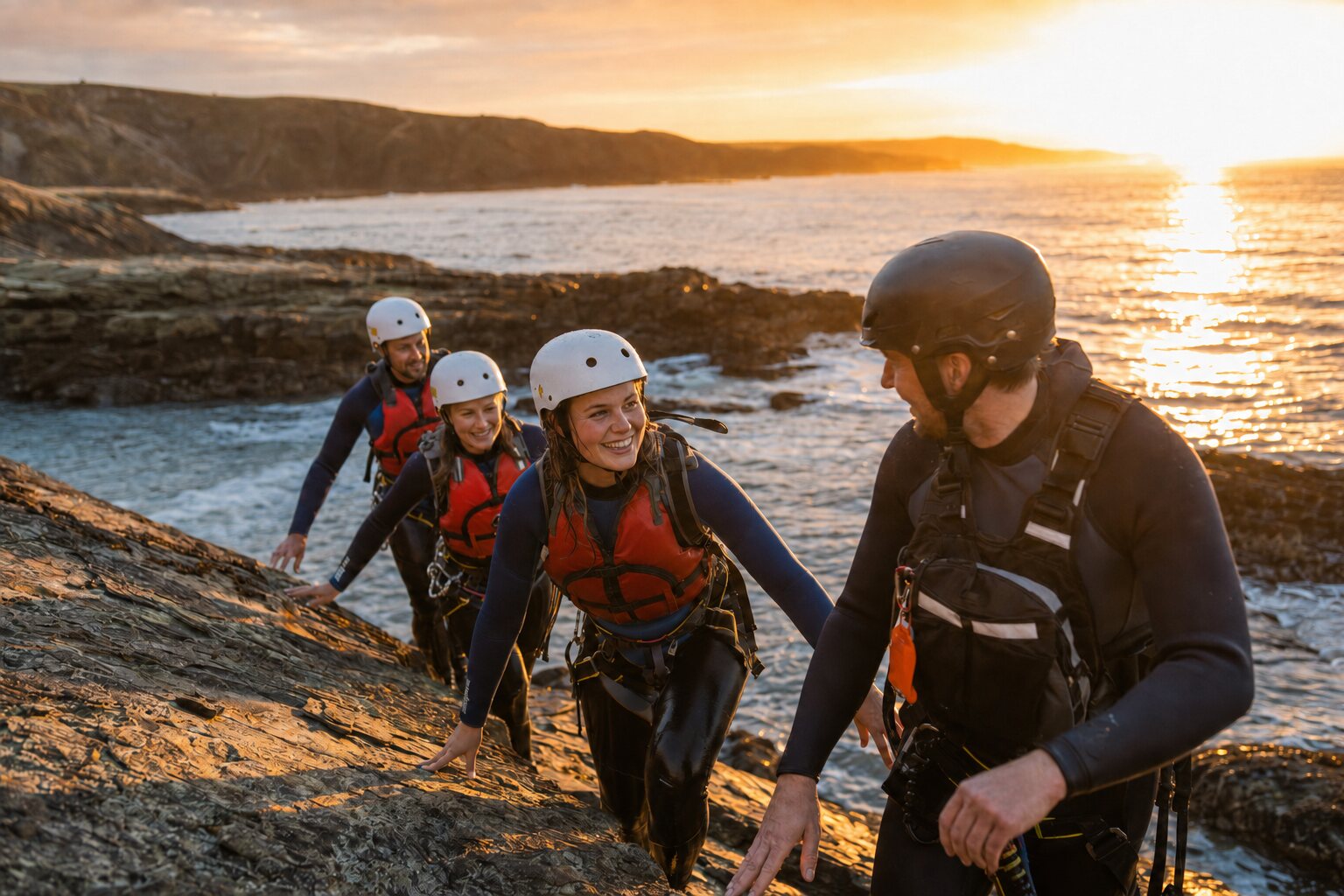
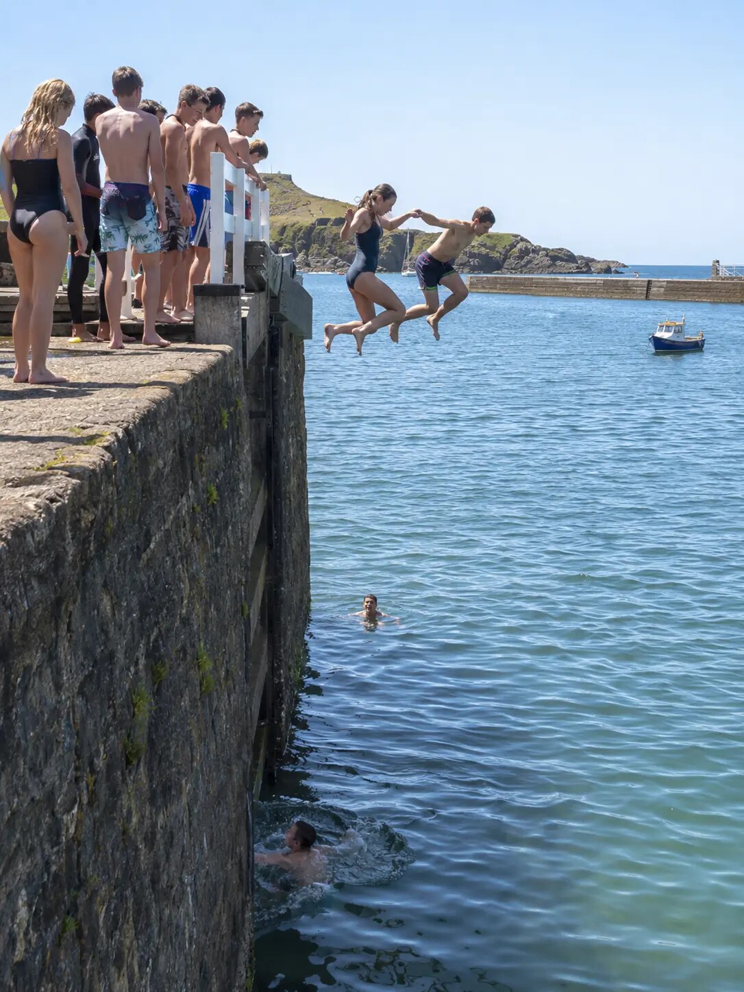
For jumps, scrambles and deep-water entries, book a qualified local coasteering guide. Conditions, depth and submerged rocks change, so we do not mark unsupervised jump points.
Find guided coasteering →Tommy’s Pit
Bude’s original tidal pool is reached across Summerleaze at low tide. Dogs and children can enjoy the area, but the rocks can be slippery and one end is deep: check the tide, use grippy shoes and supervise closely.
.jpg?width=1200)

Crabbing
Try the sheltered canal and wharf area. Keep children back from the edge, use a roomy bucket of water, handle crabs gently and return every catch where you found it.
On the water
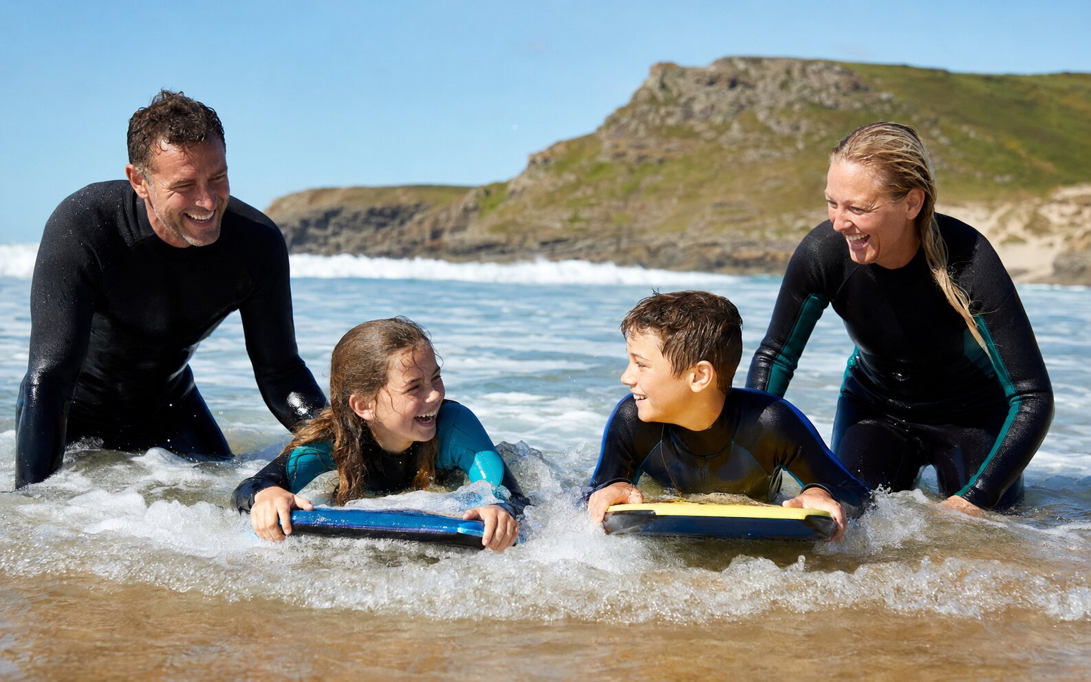
Two classic Bude activities, best enjoyed after checking the live surf report, tides, local notices and lifeguard cover.