Use Bude as a base for North Cornwall and North Devon: coast-path adventures, waterfalls, harbour towns, National Trust places, high moorland and hidden-feeling coves.
Quieter beaches within 45 minutes
Beautiful escapes from Bude.
Duckpool is the easiest first choice; Welcombe Mouth is the best all-round day trip; Millook is the nearest wild cove; Marsland Mouth feels the most remote; The Strangles offers the greatest sandy reward; and Speke’s Mill Mouth is the standout waterfall expedition.
Welcombe Mouth · Best overall secluded beach · 30–35 minutes
Best overall secluded beach · 30–35 minutes
Welcombe Mouth
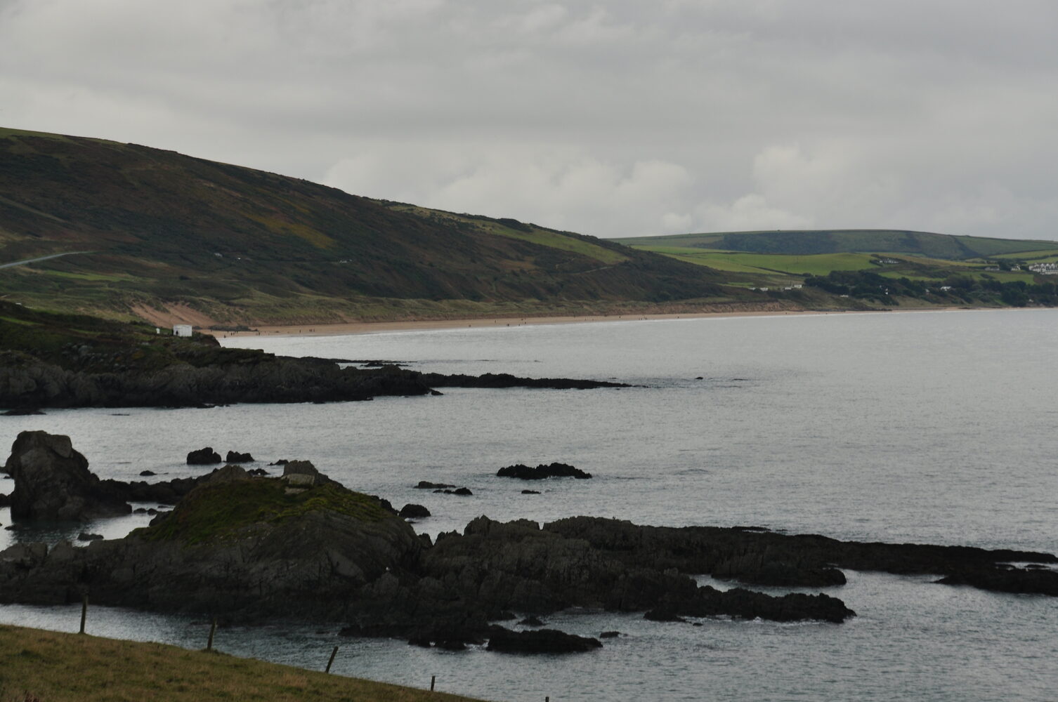
A wild, dramatic cove that is normally considerably quieter than Bude’s beaches, with sand and rock pools appearing as the tide falls. There are no facilities or lifeguards, and the final lane can be narrow, rough and badly potholed.
Local tip: Best proper day trip. Park above the beach, then expect a steep path down; arrive around two hours before low water and leave generous time to climb back.
Duckpool · Easiest lovely outing · about 20 minutes
Easiest lovely outing · about 20 minutes
Duckpool
A striking valley beach with huge cliffs, a stream, rock pools and broad stretches of sand at lower tide. The National Trust car park is close to the shore; access still crosses uneven pebbles. Seasonal toilets normally open Easter to October, and dogs are welcome all year.
Local tip: The best balance of seclusion and convenient parking. Treat the exposed water with caution and check the tide before exploring away from the main access.
Millook Haven · Nearest wild escape · about 15 minutes
Nearest wild escape · about 15 minutes
Millook Haven
An exceptionally atmospheric little cove beneath spectacular folded cliffs. It is mainly pebbly, with more shore revealed around low tide, and has no facilities, lifeguard or dependable mobile reception. Roadside parking is extremely limited.
Local tip: Best for a quiet picnic, geology and sunset—not casual swimming. If parking is full, do not obstruct the narrow lane; choose another beach.
Marsland Mouth · Most genuinely remote · about 35 minutes plus a walk
Most genuinely remote · about 35 minutes plus a walk
Marsland Mouth
An isolated beach on the Cornwall–Devon boundary, reached by continuing on foot from the Welcombe area. Expect roughly 30 minutes each way on a steep section of coast path, with pebbles and some sand exposed at lower tide.
Local tip: This is an adventurous coast walk rather than a conventional beach day. Carry water, use sturdy footwear and turn back early if energy, weather or daylight is running short.
The Strangles · Best secret sandy beach · about 30–35 minutes plus a descent
Best secret sandy beach · about 30–35 minutes plus a descent
The Strangles
At lower tide, The Strangles opens into a magnificent broad sandy beach beneath immense cliffs. Reaching it involves a demanding 20–30-minute descent on a narrow, steep and exposed path, with steps and a final rocky scramble.
Local tip: Choose a dry, calm day and only attempt it if everyone is comfortable with steep terrain. Swimming is considered unsafe; treat this as a spectacular walking and beach-exploring expedition, not a bathing beach.
Speke’s Mill Mouth · Best beach-and-waterfall expedition · about 40–45 minutes plus a walk
Best beach-and-waterfall expedition · about 40–45 minutes plus a walk
Speke’s Mill Mouth
From Hartland Quay, a hilly stretch of the South West Coast Path leads roughly 1–1½ miles to a remote rocky beach and one of the region’s most dramatic coastal waterfalls. The cascade tumbles down the folded cliff towards the shore, making this a memorable scenery-and-picnic expedition.
Local tip: Park at Hartland Quay, allow plenty of daylight and wear sturdy footwear. This is a demanding coast-path outing rather than an easy sand-and-swim day; stay clear of cliff edges and slippery rocks, and check the weather and tide before setting out.
A huge sweep of North Devon sand backed by dunes and green hills. Come for a full beach day, a long barefoot walk or another celebrated Atlantic surf town to compare with Bude.
Local tip: Add the National Trust walk around Morte Point for wide views towards Lundy.
Ilfracombe · Harbour town · about 1 hour 15 minutes
Harbour town · about 1 hour 15 minutes
Ilfracombe
A colourful harbour town with fishing boats, galleries, dramatic cliffs and Damien Hirst’s Verity on the pier. Walk up Lantern Hill or take a boat trip if the sea is kind.
Local tip: Pair the harbour with Tunnels Beaches rather than rushing two North Devon towns into one afternoon.
A grand Victorian country house with richly furnished rooms, extensive gardens and wooded estate trails—an excellent mixed-weather or mixed-generation day trip.
Local tip: Allow several hours and check National Trust opening times before leaving.
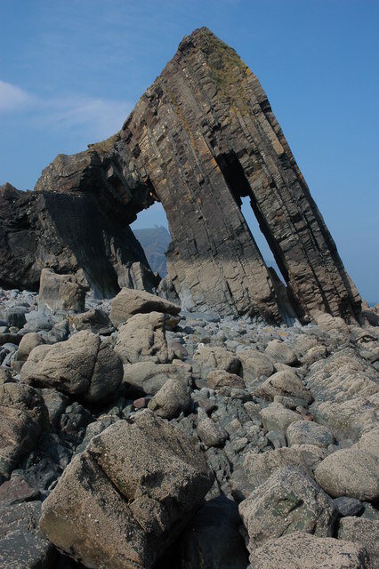
A wooded-valley walk reaches a rocky cove and the striking twin arches of Blackchurch Rock. It feels hidden, but is for exploring and photography rather than casual swimming.
Local tip: Go near lower tide, use the National Trust route from Brownsham and never enter or climb the arches.