Twelve Atlantic surf breaks explained through images, seabed, wave shape, danger points, rip-current awareness and a month-by-month view of relative swell frequency—including five demanding local options for experienced surfers.
01
Bude · closest to BSS
Crooklets
Beginner to experienced—condition dependent
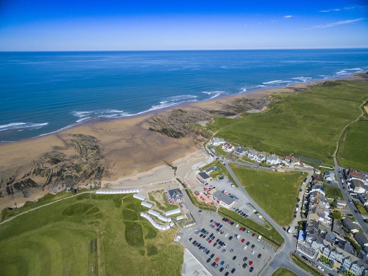
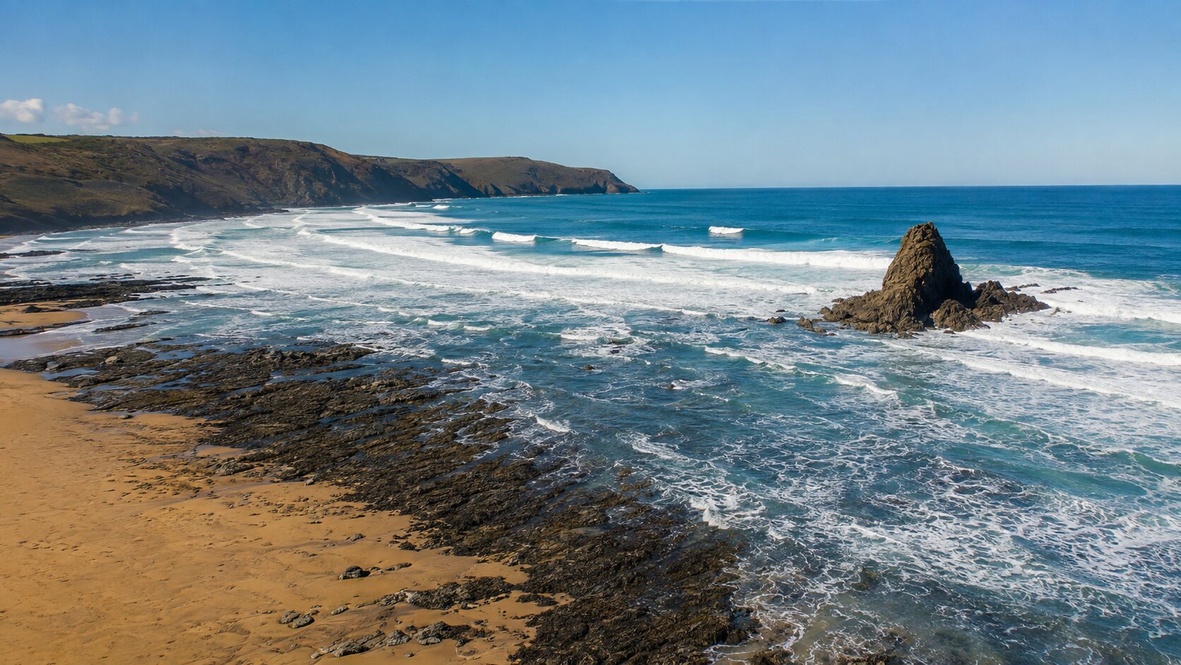
Crooklets Beach from above
Crooklets at low tideCrooklets near high tide
Wave IQ Detail
How Crooklets works
How it breaks
An exposed beach break with shifting left- and right-hand peaks. Sandbanks move after storms, so the best take-off point and wave shape can change from week to week.
Seabed / substrate
Mostly sand across the main bay, with rock shelves and outcrops towards the edges. More rock is exposed as the tide falls.
Danger points
Crowds, shore break, exposed rocks at the sides and rapidly changing tide. Stay between RNLI flags when they are operating and do not treat the sea pool or rocks as an exit route.
Rip-current IQ
Channels can form beside rocks and between sandbanks. A calm-looking gap in the breaking waves may be water moving seaward; check from shore and ask the lifeguards before entering.
Month by month
Relative swell frequency
Typical chance of rideable swell, not a prediction of quality or safety.
JanVery frequent
FebVery frequent
MarFrequent
AprRegular
MayOccasional
JunOccasional
JulQuiet
AugOccasional
SepRegular
OctFrequent
NovVery frequent
DecVery frequent
02
Bude · harbour and sea-pool beach
Summerleaze
Beginner-friendly only when small and lifeguarded
Summerleaze, canal and coastline
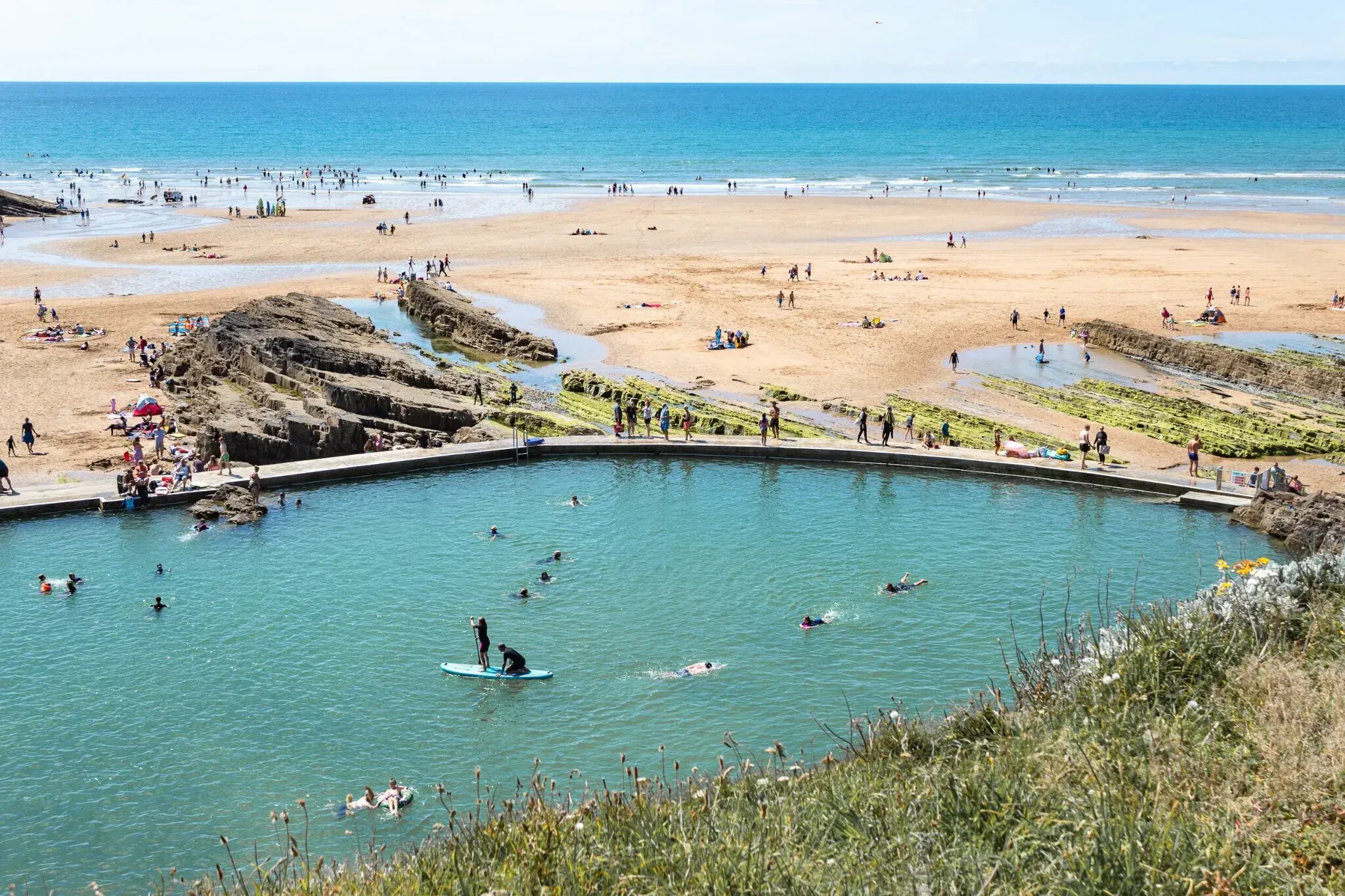
Summerleaze beside Bude Sea PoolBude Sea Pool and Summerleaze
Wave IQ Detail
How Summerleaze works
How it breaks
A sandy beach break influenced by the harbour wall, river channel and changing sandbars. It can be softer than nearby beaches on smaller days but becomes powerful in larger Atlantic swell.
Seabed / substrate
Predominantly sand, with rock around the sea pool and headland and engineered structures beside the river and harbour entrance.
Danger points
Harbour traffic, the river entrance, rocks by the sea pool and strong water movement around structures. Never surf or swim in the harbour channel.
Rip-current IQ
Outflow and tidal movement can create defined channels near the river and harbour wall, while temporary rips form between banks elsewhere on the beach.
Month by month
Relative swell frequency
Typical chance of rideable swell, not a prediction of quality or safety.
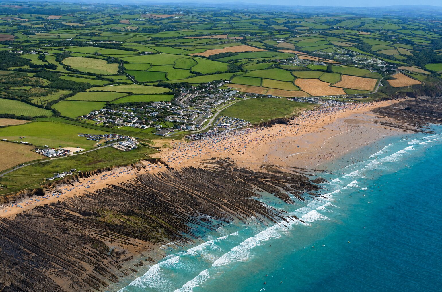
A long, exposed beach with many shifting peaks. The central bay is generally sandbank-driven; Black Rock and the bay edges add rockier, more technical sections.
Seabed / substrate
Sand through much of the bay, mixed with rock shelves, boulders and reef around Black Rock and the headlands.
Danger points
Powerful surf, longshore drift, rocks around the edges and a large area that can make landmarks deceptive. Choose a lifeguarded zone and match the peak to your ability.
Rip-current IQ
Rips commonly run beside rock features and through deeper gaps between sandbanks. Their position changes with tide and bank shape.
Month by month
Relative swell frequency
Typical chance of rideable swell, not a prediction of quality or safety.
JanVery frequent
FebVery frequent
MarFrequent
AprRegular
MayRegular
JunOccasional
JulOccasional
AugOccasional
SepRegular
OctFrequent
NovVery frequent
DecVery frequent
04
North Cornwall · remote cove
Millook
Experienced surfers only
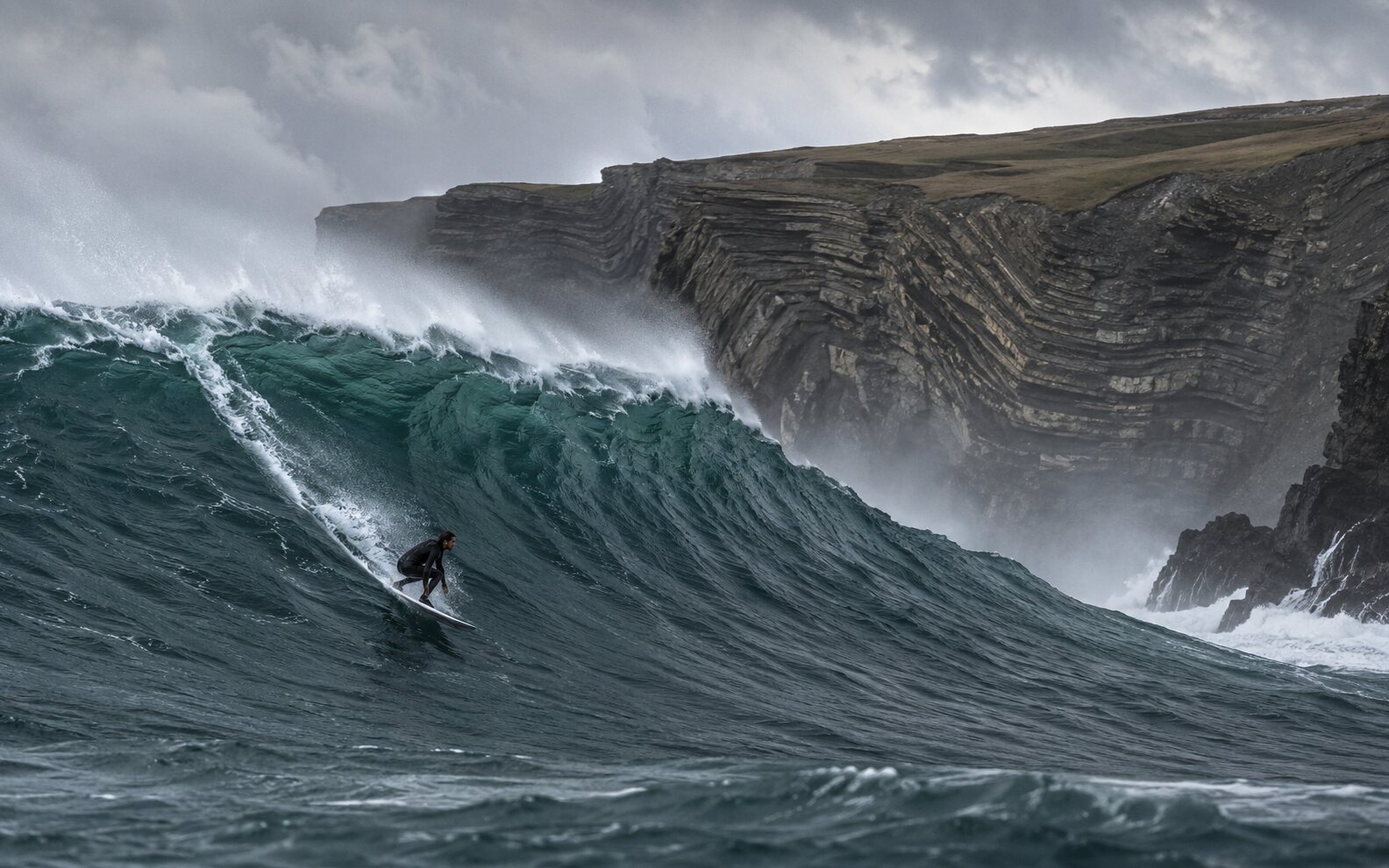
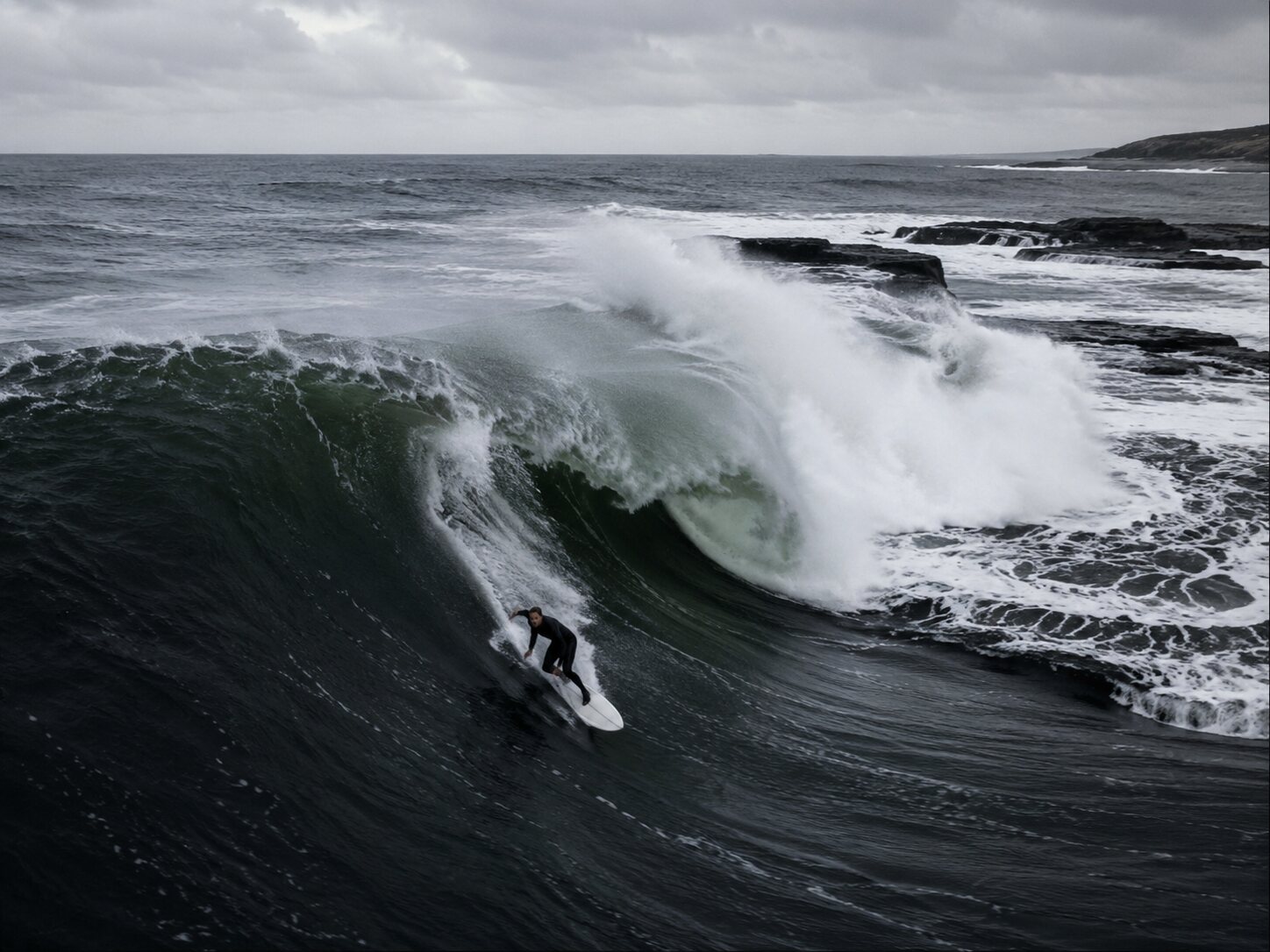
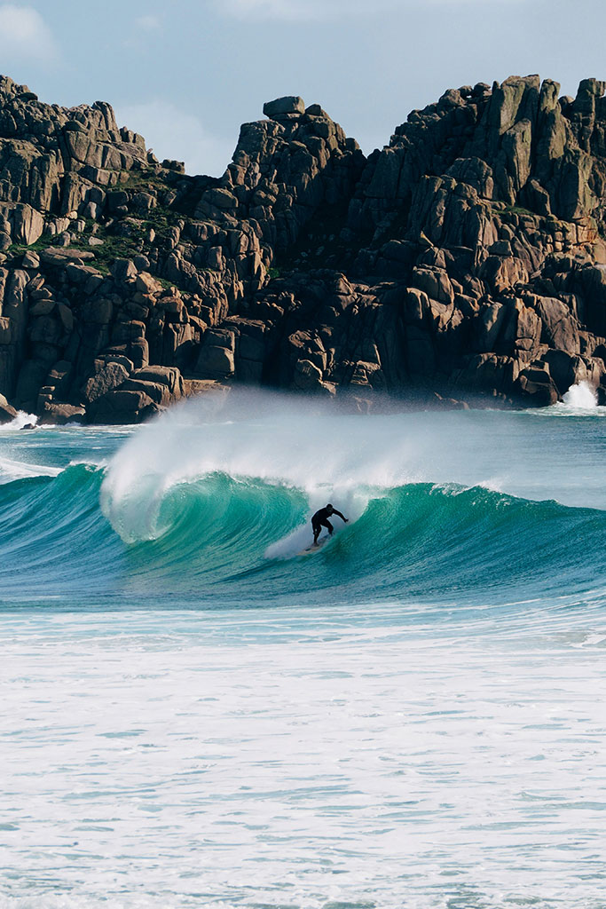
Heavy water · advanced onlyMillook energy · representative surf visual
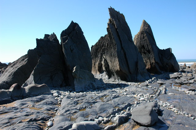
A compact, exposed cove where swell meets a steep, irregular shoreline. Wave quality is highly dependent on direction, tide and local bathymetry; it is not a dependable beginner beach break.
Seabed / substrate
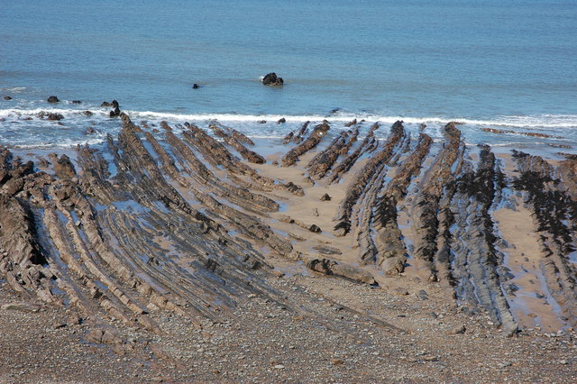
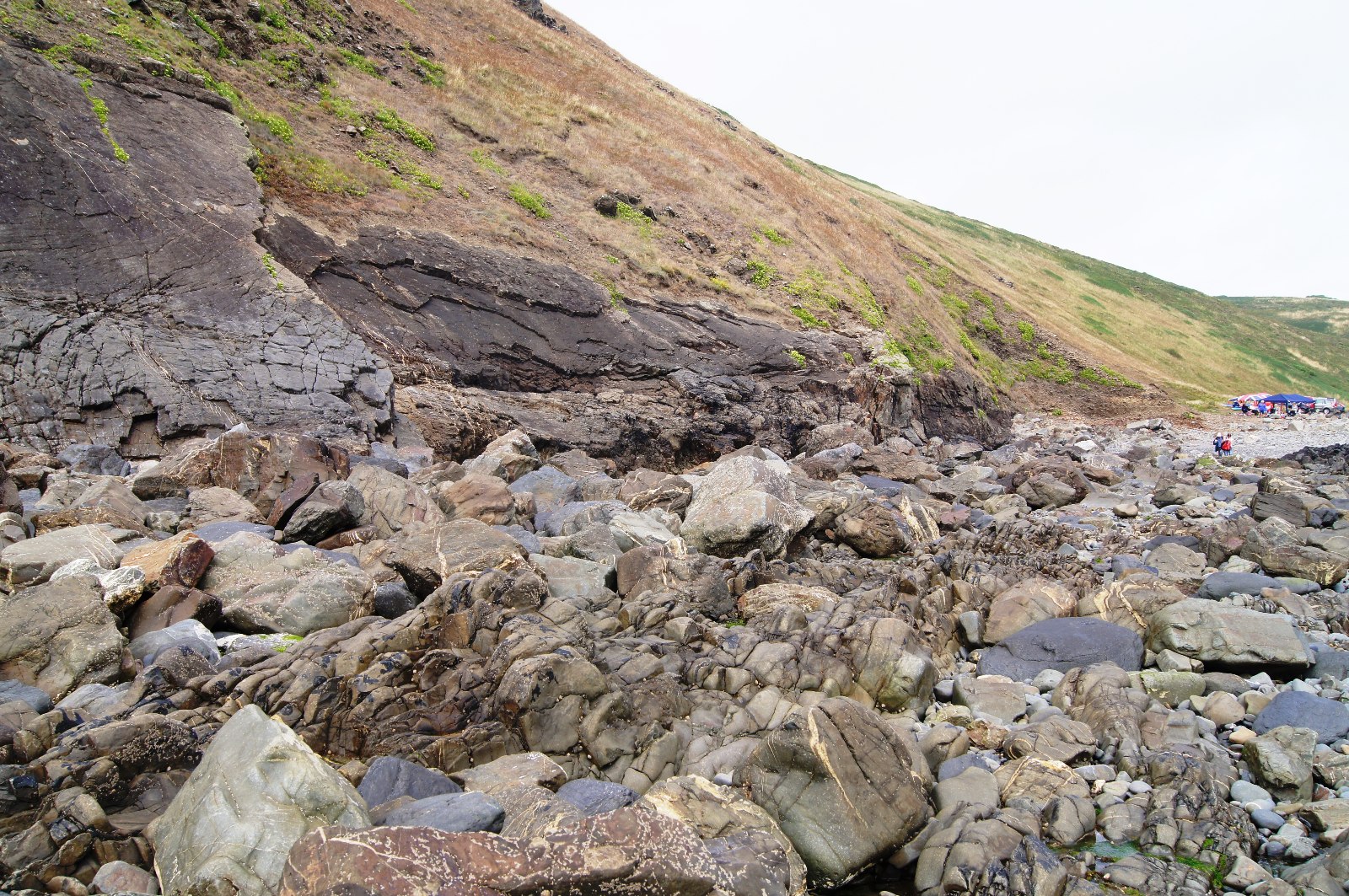
Cobble, boulders and dramatically folded rock strata rather than a forgiving, uniform sandy bottom.
Danger points
No easy margin for error: rocks, difficult entry and exit, unstable cliffs, limited facilities and no dependable lifeguard cover. Observe from the coast path unless properly experienced and equipped.
Rip-current IQ
Water can funnel through the small cove and along rock-defined channels. With no patrol to interpret conditions, assume strong currents are possible whenever swell is running.
Month by month
Relative swell frequency
Typical chance of rideable swell, not a prediction of quality or safety.
A faster, hollower reef-influenced wave at the southern end of Widemouth. It can hold more size than the central beach and becomes powerful quickly when a solid west or north-west swell arrives.
Seabed / substrate
Rock reef, shelves and boulders with adjacent sand. Water depth and exposed rock alter significantly through the tide.
Danger points
Shallow reef, heavy lips, rocks on entry and exit and limited room when busy. Treat it as a separate advanced break—not simply another Widemouth sandbank.
Rip-current IQ
Water commonly moves beside the reef and through channels between rock and sand. Watch several sets from shore and ask an experienced local before choosing an entry.
Month by month
Relative swell frequency
Typical chance of rideable swell, not a prediction of quality or safety.
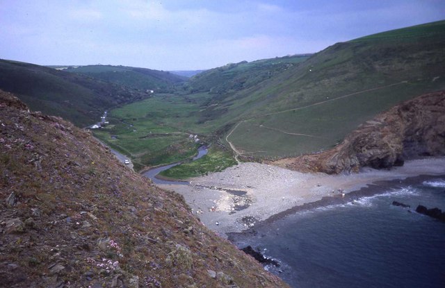
An exposed beach-and-reef setup in a narrow valley mouth. Lower tide can reveal a defined right and reef sections; shape is highly sensitive to swell direction, tide and recent movement of sand and shingle.
Seabed / substrate
Shingle and sand over rock, with reef, boulders and cliff-foot hazards around the bay.
Danger points
Powerful surf, rocks, no dependable lifeguard cover and dangerous high-tide water against the shingle and cliff. It is not a fallback when Bude is too large.
Rip-current IQ
The valley shape and reef can concentrate outgoing water into strong channels. If the exit is not obvious from shore, do not enter.
Month by month
Relative swell frequency
Typical chance of rideable swell, not a prediction of quality or safety.
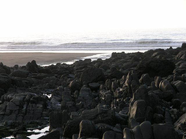
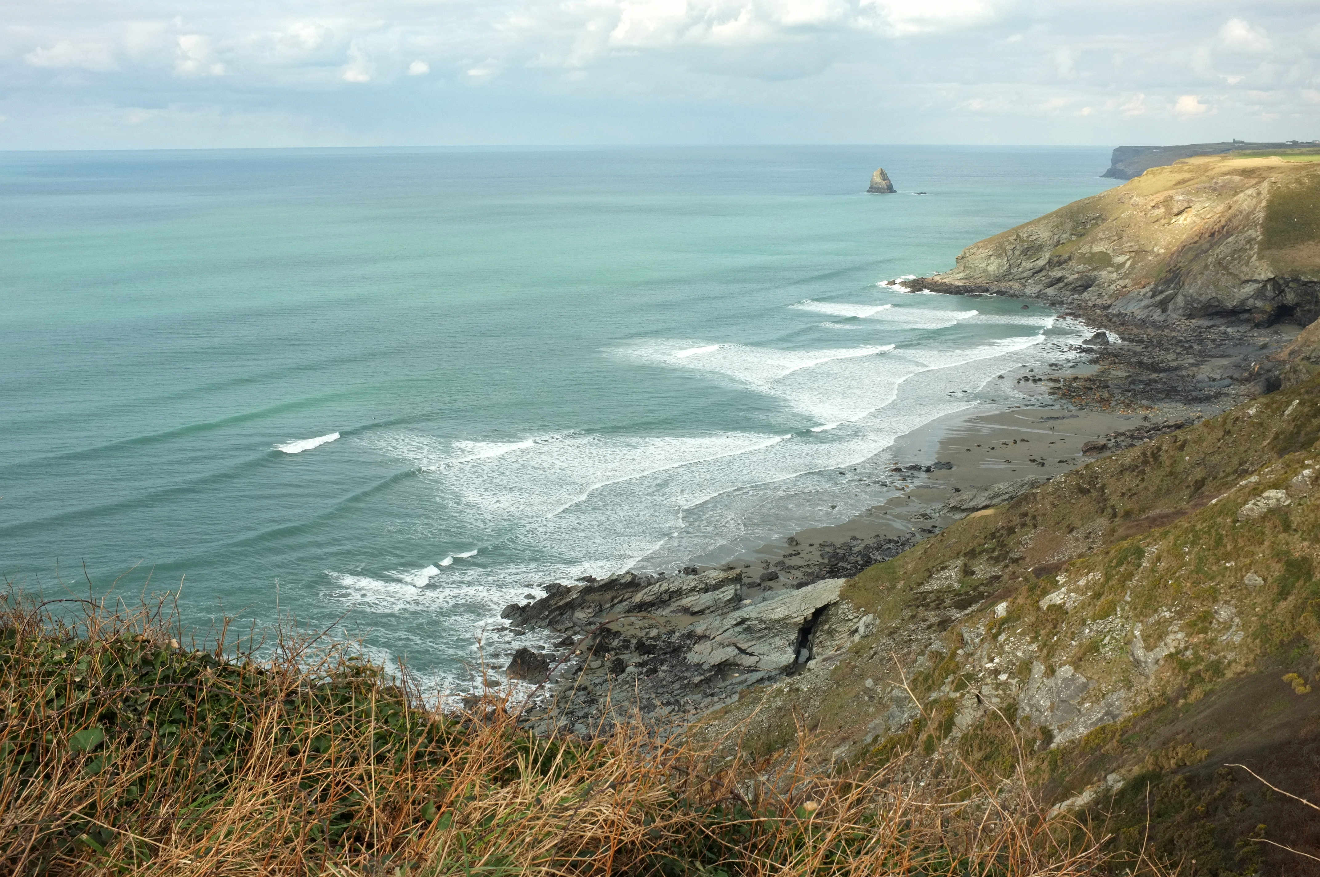
A remote, tide-dependent stretch of exposed beach and reef rather than a single reliable peak. Banks and rock-defined sections can produce quality waves, but only within a narrow access window.
Seabed / substrate
Sand, shingle, rock ledges and scattered boulders beneath unstable cliffs.
Danger points
Access is normally only practical around low to half tide. Rising water can remove the beach route and leave no simple exit; cliff falls, long carry and no patrol add to the risk.
Rip-current IQ
Rock-defined channels and longshore water movement change with tide. Never paddle out without a timed return plan and a landward exit that remains available.
Month by month
Relative swell frequency
Typical chance of rideable swell, not a prediction of quality or safety.
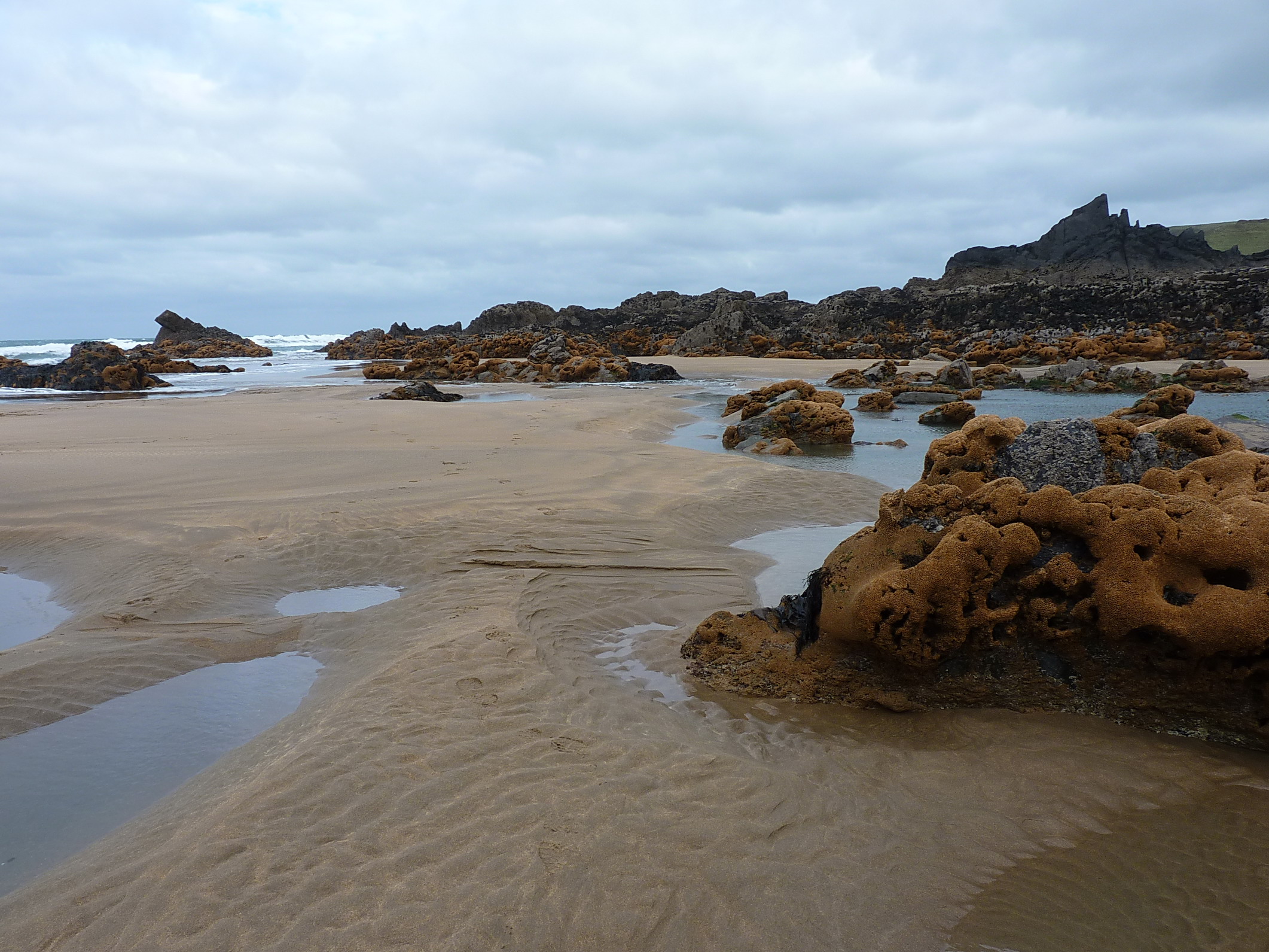
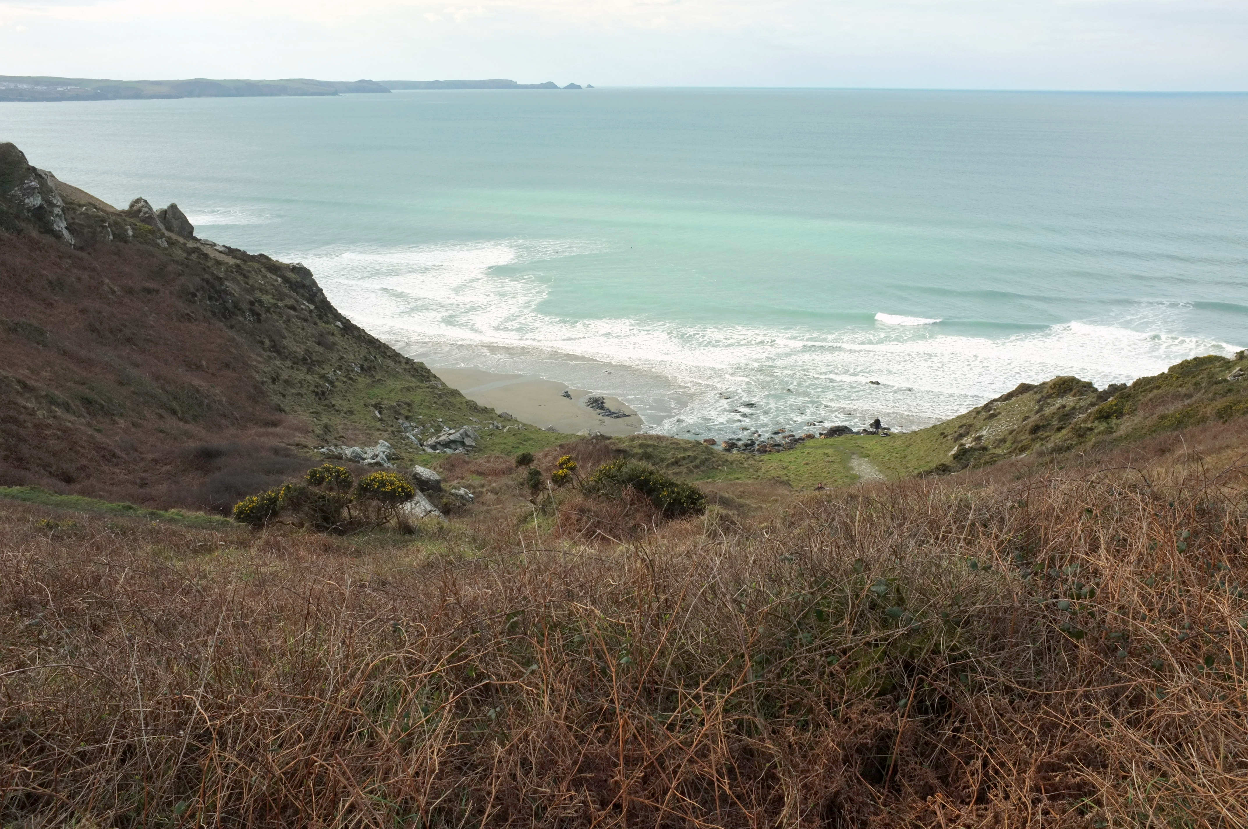
A powerful exposed beach break where west to north-west swell meets shifting sand and rock. Peaks can be steep and punchy, with quality dependent on the banks and a clean easterly wind.
Seabed / substrate
Mixed sand and rock with ledges, boulders and uneven shallows at lower water.
Danger points
Limited parking, a steep 15–20 minute descent, slippery final rocks, no lifeguard and a strenuous return. Tide and swell can make the normal access unusable.
Rip-current IQ
Strong channels can develop beside rocks and through gaps in the banks. Because the beach is remote, do not surf alone and leave extra daylight for the climb out.
Month by month
Relative swell frequency
Typical chance of rideable swell, not a prediction of quality or safety.
A challenging reef break on an exposed, folded-rock coast. The wave is highly condition-dependent and offers none of the forgiving margin of a patrolled sandy beach.
Seabed / substrate
Rock reef, ledges, boulders and a rough rocky shoreline beside the waterfall valley.
Danger points
Rough footpath access, no road-level beach approach, no lifeguard, difficult entry and exit and rapidly changing Atlantic weather. A rescue would be slow and complex.
Rip-current IQ
Current wraps around reef and headland features and can pull away from the small shore. Only enter with experienced company, settled access conditions and a clearly observed exit.
Month by month
Relative swell frequency
Typical chance of rideable swell, not a prediction of quality or safety.
A highly exposed west-facing beach break with multiple lefts and rights over shifting banks. North and South Fistral can behave differently; offshore reefs also produce expert-only waves in major swell.
Seabed / substrate
Mainly sand in the beach-break zone, with rock and reef around the headlands and offshore features.
Danger points
Crowds, powerful sets, rocks at both ends and advanced offshore reefs. Competition-level surfing does not make every part of Fistral suitable for every surfer.
Rip-current IQ
Strong channels often form near the rocks and between busy peaks. Use the patrolled zone, identify a fixed shore marker and reassess as the tide changes.
Month by month
Relative swell frequency
Typical chance of rideable swell, not a prediction of quality or safety.
A punchy beach break known for steep, fast waves when banks, tide and swell align. Lower-tide waves can be hollow and unforgiving; smaller high-tide conditions may be softer but are still dynamic.
Seabed / substrate
Sand over an uneven base, with rock platforms and headlands framing the bay.
Danger points
Heavy breaking waves, crowds, shallow sections at lower tide and rocks towards the ends. Do not use reputation or wave size alone to judge suitability.
Rip-current IQ
Croyde is well known for strong rip channels, particularly beside headlands and through deeper bank gaps. Check with lifeguards and never rely on following other surfers out.
Month by month
Relative swell frequency
Typical chance of rideable swell, not a prediction of quality or safety.
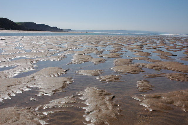
A long beach break where a huge tidal range continually changes the distance to the water, bank shape and character of the wave. Peaks can be spread widely across the bay.
Seabed / substrate
Sand across the surf zone, backed by the famous pebble ridge; rock appears towards the extremities.
Danger points
Rapidly moving tide, long walks back across wet sand, shore break, weather exposure and losing track of the patrolled area. Fix your entry point before paddling out.
Rip-current IQ
Shifting sandbanks create temporary rip channels, with stronger water movement possible around groynes, rock and deeper channels. Conditions may change substantially during one session.
Month by month
Relative swell frequency
Typical chance of rideable swell, not a prediction of quality or safety.



.jpg?width=1400)



.jpg?width=1400)


